


Indian Peaks, Gold Hill (National Geographic Trails Illustrated Map) (National Geographic Trails Illustrated Map, 102)
W**R
Good but not great
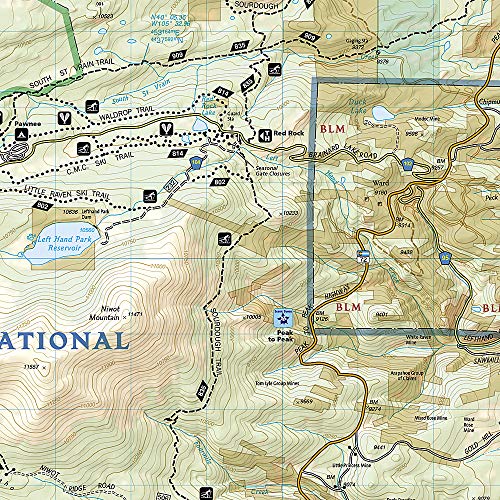
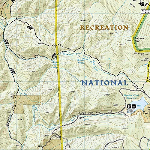
I bought this to replace a Latitude 40 map that I had lost. It's only gone out in the field with me a few times, but I miss the Latitude 40 map even more.My biggest complaint by far is there is no mileage listed on any of the trails. Sure the map is to scale, and you can guestimate with your fingers or a string, but with curvy trails you can be off by a lot. It's just much better to have the mileage shown on the trail between major junctions. I'll probably end up using a sharpie on the map to write in the distances from other guides before I head out.My next complaint is that typically I keep the map in my back pocket for easy reference. Sure I may know the way, but I like to check and see the names of the streams, lakes, and peaks that I see along the way. So far, the ink on the map is smearing were it was folded and most likely rubbing in my pocket. And this was during dry conditions. It's not so bad, but after lots of use, I'm not sure how well it will hold up. My other map never had this problem, and I abused it a lot more.Last, for this map, I really wish the east side of the Divide was entirely on one side of the map. In the Hessie / Fourth-of-July area the Continental Divide is on the back side. It would have been much better if they cut some of the east half off so they could fit the Divide on onside, then on the back side they cut some of the west half off so they could fit the entire Divide on that side too. Overlap is good.If your buying the map for one-time use, go for it. But if you're a local there are better options for durability and usefulness.
R**N
No distance notations
I'm used to Tom Harrison maps. This is similar in physical quality. I wish it was at a scale that showed more detail of the wilderness area. My only real complaint is that most maps for backpackers have little notations that show distance between points, such as trail junctions. You could figure it out with string and the scale, but who needs that?
C**R
Came slightly wrinkled
Slightly wrinkled out of the package, probably happened when it was folded at the factory. Another reviewer mentioned it already, but I did find the placement of the divide on the map a little disorienting. I think most people who buy this map are more familiar with areas east of the divide and bring that bias to interpreting this map.If you need a map of the Indian Peaks area, not sure how you could do much better.
J**M
Trails Illustrated Maps are the best hiking maps out there
I love all my Trails Illustrated maps, because they are the best overall commercial product out there for hiking. This map in particular has a lot of useful details, including showing most public hiking trails, boundaries of parks and private land, road types (e.g., 4WD), gates, etc. I have found that these maps have more accurate trail route information than any other product, though a few times I have still found where the map trail is 1/4-mile or more off. Where the map is wrong, I have found that subsequent versions of these maps correct for errors, though they haven't corrected all of them yet.
B**E
Why Not Add Mileage to Trails?
National Geographic makes such great maps, they would outdo most any other map IF they included miles on their trails! I'm relegated to using Google Maps to try to guess (using their ruler tool) how long a trail is. I would give this 3.5 starts (1.5 off) just because of that. We'll cut 'em some slack and give it 4/5.
C**E
Trails Illustrated: Still The Best
Still one of the best map companies out there, and one very amazing area to hike around.
C**E
Awesome map
This is an great map detailing one of my favorite spots in the country. I have used this on multiple occasions and will continue to do so this year. I love the durable plastic/paper construction. It is water resistant and will last a long time.
K**R
Five Stars
Nice map, durable. Exactly as described, arrived in two days. Would use again...
Trustpilot
1 month ago
2 months ago