Description
🌐 Own the world on your wall — plan, learn, and connect like a global pro!
- TIME ZONE MASTERY - Integrated analogue clocks display global time zones relative to GMT—never miss a meeting or flight again.
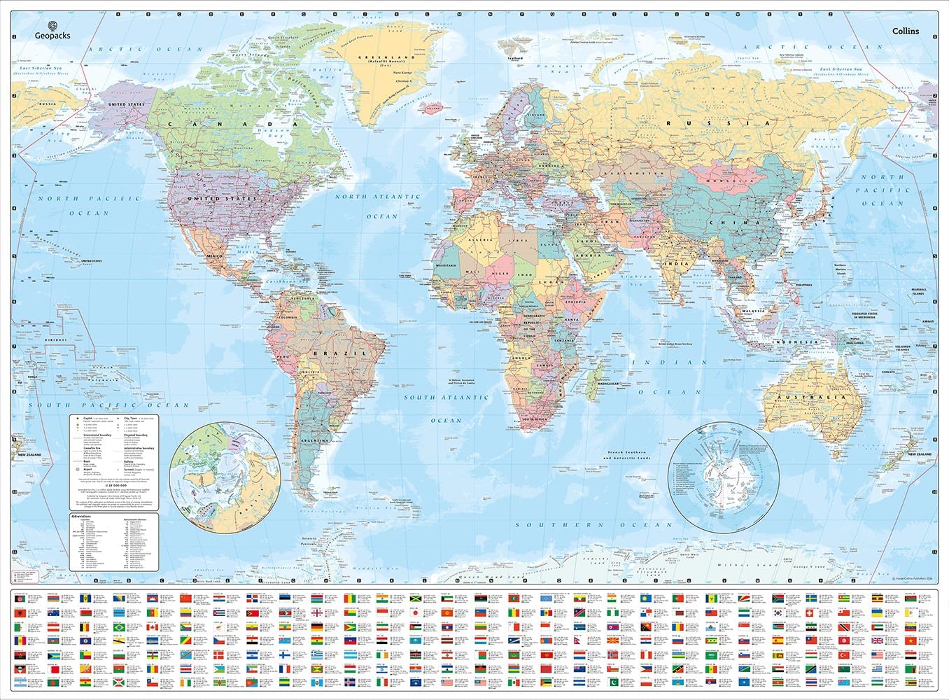
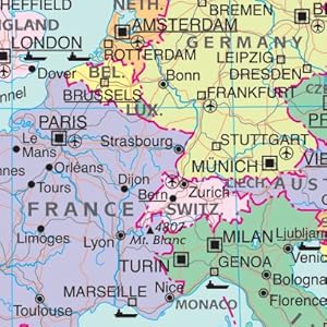
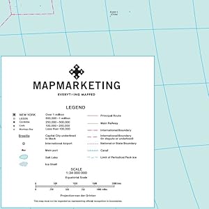
- VISUAL CLARITY PRECISION - Distinct country colors, mountain shading, and clear legends make geography intuitive and engaging.
- INTERACTIVE DURABLE DESIGN - Laminated finish lets you write, wipe off, and update your travel plans or lessons with ease.
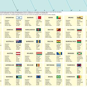
- ULTIMATE TRAVEL EDUCATION HUB - Detailed country data including flags, population, currency, and language for savvy planners and global citizens.
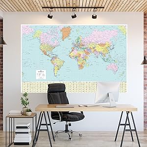
- READY TO DISPLAY READY TO IMPRESS - Oversized 120cm x 83cm format commands attention in any office or study, sparking curiosity and conversation.
This large 120cm by 83cm laminated political world map combines vibrant country colors with detailed data on flags, population, currency, and languages. Featuring major airports, seaports, and time zones with analogue clocks, it’s designed for professionals and educators who demand interactive, durable, and visually striking geography tools. The wipe-clean laminate surface supports dynamic planning and learning, making it a must-have for travel enthusiasts and global managers alike.